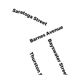
746 Bennington ST
Owner Information
SEVEN 46 BENNINGTON LLC
193 HARVARD ST
BROOKLINE, MA 02446


Property Details
746 Bennington ST is classified as a Three-Family Residential (Decker).
The primary structure on this property was built in 1910. There is 3,870ft2 of residential/living space within this property. This property is listed as having 17 rooms.
746 Bennington ST is valued at $698,000. The land is valued at $238,500 and the structures are valued at $459,500.
The most recent deed for 746 Bennington ST is recorded at the local registrar in Book 53861, Page 122. 746 Bennington ST was last sold on Friday, December 19, 2014 for $600,000.
Assessment data from fiscal year 2020.
Flood Data
This property is completely within the AE Zone (within floodplain).
The base flood elevation for this flood zone is 10 feet.
This information is sourced from the FEMA National Flood Hazard Layer. See our full disclamer.
Broadband Internet Providers
| Provider | Type | Bandwidth (mbps) | |
|---|---|---|---|
| Verizon New England Inc. | DSL | 5 | 0 |
| Comcast | Cable | 1000 | 35 |
| VSAT Systems, LLC. | Satellite | 2 | 1 |
| HughesNet | Satellite | 25 | 3 |
| GCI Communication Corp. | Satellite | 0 | 0 |
| Viasat Inc | Satellite | 100 | 3 |
| Verizon New England Inc. | Fiber | 940 | 880 |
| Starry, Inc. | Fixed Wireless | 200 | 200 |
Broadband service provider data from December 2020.